

|
|
|
| Espanola
and Vicinity - Introduction |
Shirley
Lalond's Images 2016 |
Sherri
Canjar's Images 2018 |
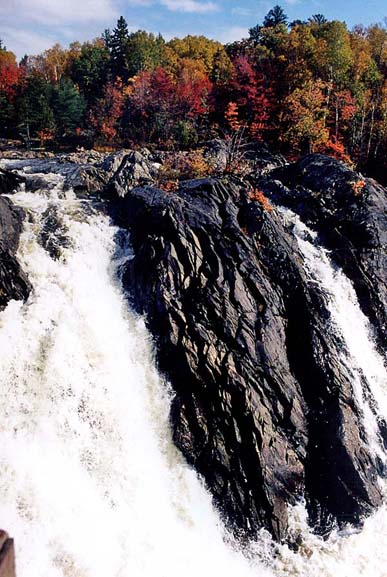
  In later years it became part of what was referred to locally as a “Super Board” when the public schools in Massey, Webbwood, McKerrow, Nairn Centre and Espanola formed the Espanola Board of Education. This changed again in the 1990s when the government of the day ordered the amalgamation of school boards. Today, the school is part of the Rainbow District School Board that covers a geographic area of 14,757 square kilometers, incorporating 35 elementary schools and 10 secondary schools. The Board extends from Sudbury in the east along the North Shore of Lake Huron and down to Manitoulin Island. Espanola sits at the heart of the area occupying a position beside the Spanish River and astride Highway 6, the road that runs south from the Trans-Canada Highway to Manitoulin Island and the ferry that crosses Georgian Bay to Tobermorey. 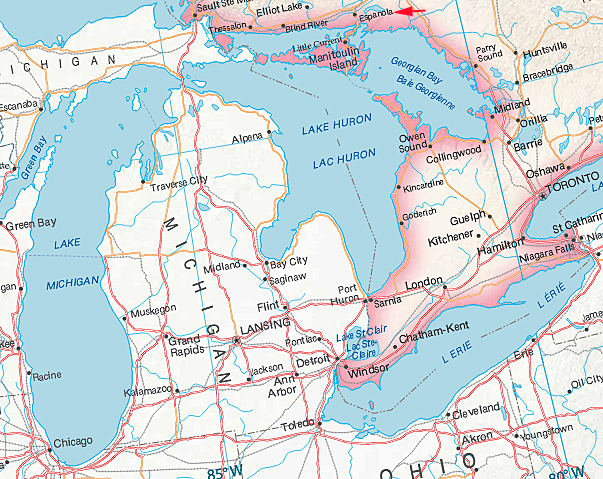 This is an area where the ancient
rocks of the Canadian Shield meet Lake Huron.
Sitting just off the mainland is a collection of islands
formed of much younger rocks, including Manitoulin
Island, the largest fresh water island on Earth.
This is a wonderful area dotted with numerous lakes and
rivers surrounded by exposed rocky hills covered in
mixed forests that come alive with colour every
Fall.
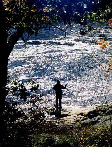
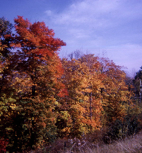 The area attracts tourists in large
numbers who come to admire the views, enjoy the water
sports, fish and hunt.
   A document prepared by the Ontario
Geological Survey entitled “Geology and Scenery -
North Shore of Lake Huron Region” says this
about the journey through the area: “This
journey goes through some of Ontario’s most
delightful lakeshore scenery and passes from the
Precambrian rocks of the mainland to the Paleozoic
rocks and Pleistocene and recent deposits of
Manitoulin and the other islands. The trip
is of considerable historic interest because of
the area’s close association with North American
history and pre-history. ”
The town of Espanola is said to get its unexpected name
from the story that a party of Ojibwa travelling in the
area encountered a white woman who spoke Spanish.
The woman married a local First Nations man and they
lived near the mouth of the main river. She taught
her children to speak Spanish so when the French
voyageurs reached this area they encountered local
natives who spoke Spanish. They apparently
remarked “Espagnole” which became anglicized to Espanola
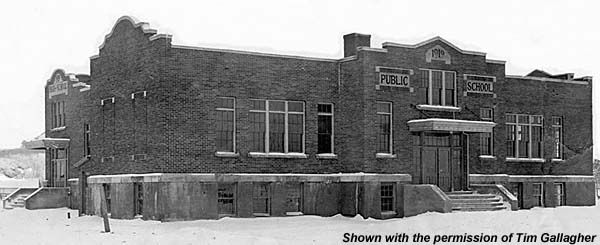
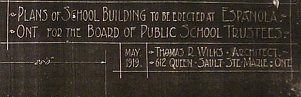
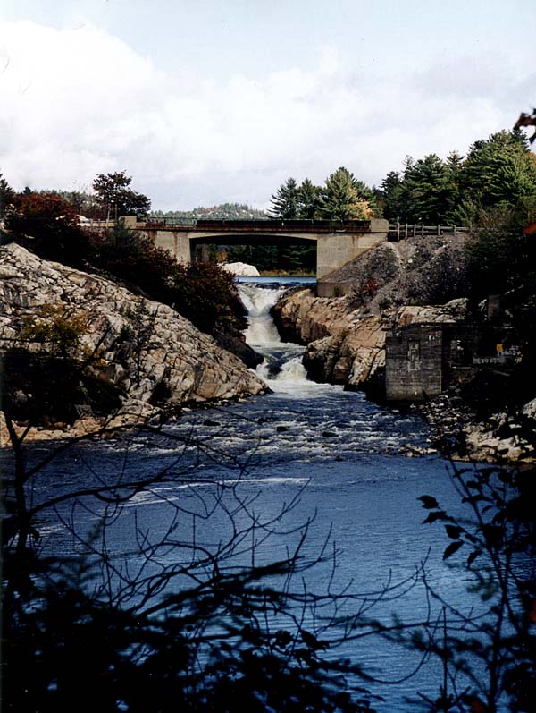
and the river became the Spanish River. 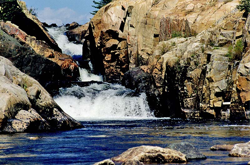 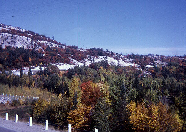 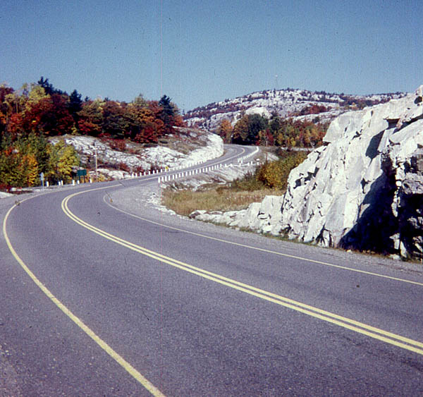 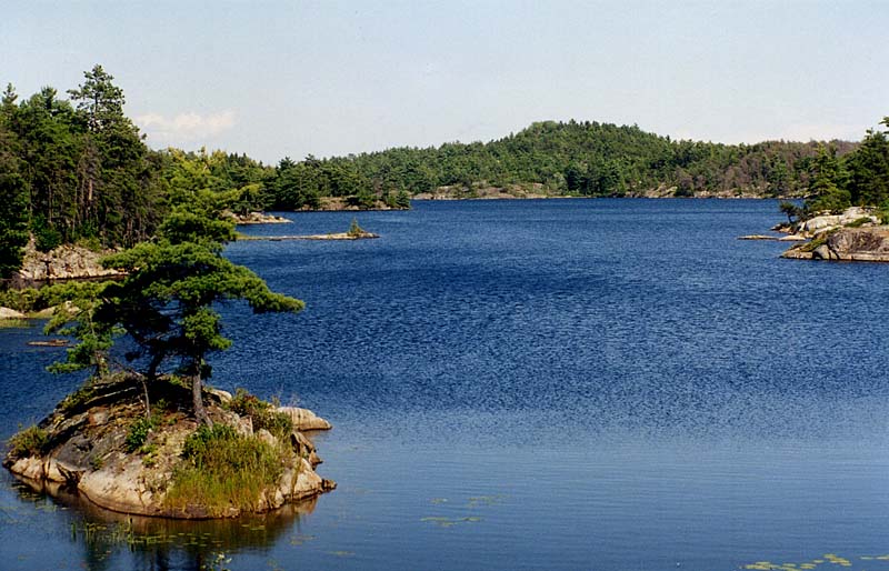 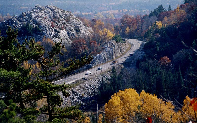 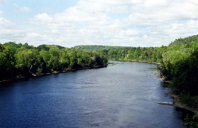 In 1899 the Spanish River Pulp and Paper Company set up its operations in the vicinity of a waterfall on the river and created a company town around their mill. (the image below is of the mill in the 1990s) 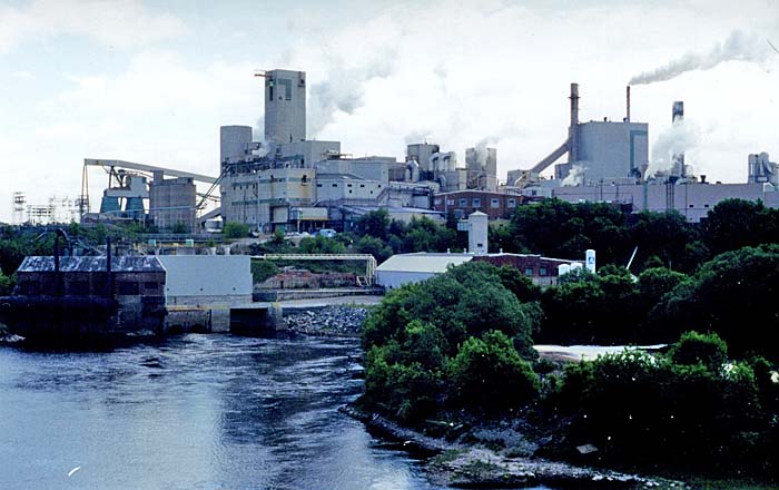 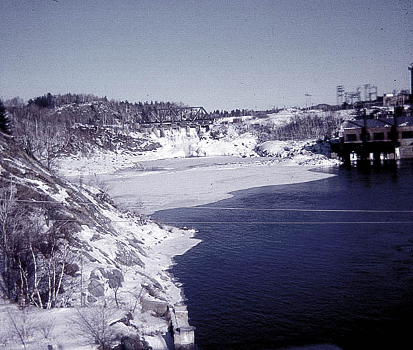 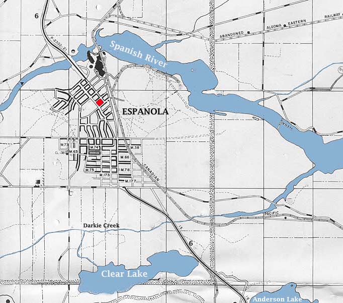  Espanola was incorporated in the
mid 1950s and by March of 1958 it had a population of
5000. The population has remained remarkably
stable over the years because in 2016 it is still
described by the town’s website as being “roughly
5,000”. The composition of the population must
have changed though, because back in 1958 the Espanola
Public School had 541 students and today the
enrollment is in the region of 270.
(The images below are shown with
the permission of Keith Howard)
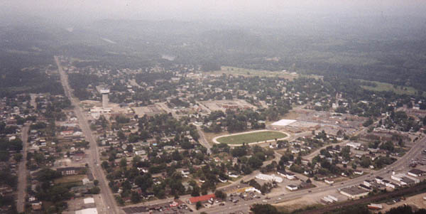 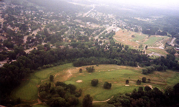 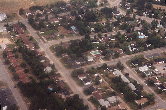 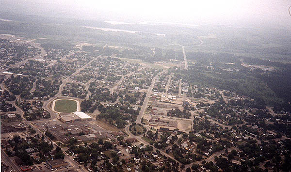 Espanola in 2016 is described as a retail hub for the North Shore Manitoulin area. The town’s website says that it is, “well-established with a historical urban townsite, and a significant rural area representing the amalgamation of two former municipal entities, the Town of Espanola and the Township of Merritt. The Town functions as a service and retail centre for the Lacloche - Manitoulin area which has a population of approximately 40,000. Espanola serves as a junction between the Highway 17 east-west corridor from Sudbury to Sault Ste Marie and Highway 6 to Manitoulin Island." 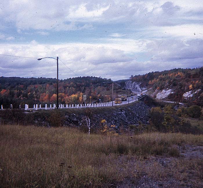 "The Town also functions as a bedroom community for the urban centre of Sudbury which is only 45 minutes away.” It has a regional hospital and health care centre and a large Recreation Complex featuring an aquatics centre, ice rink, gym and library 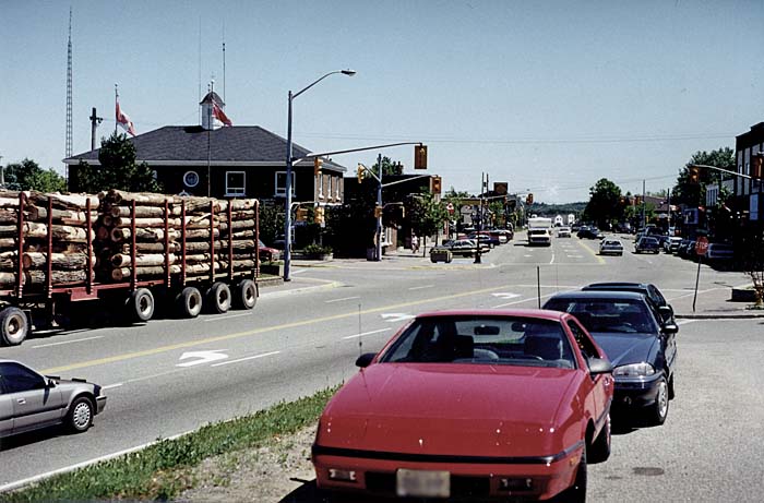 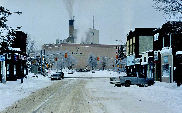 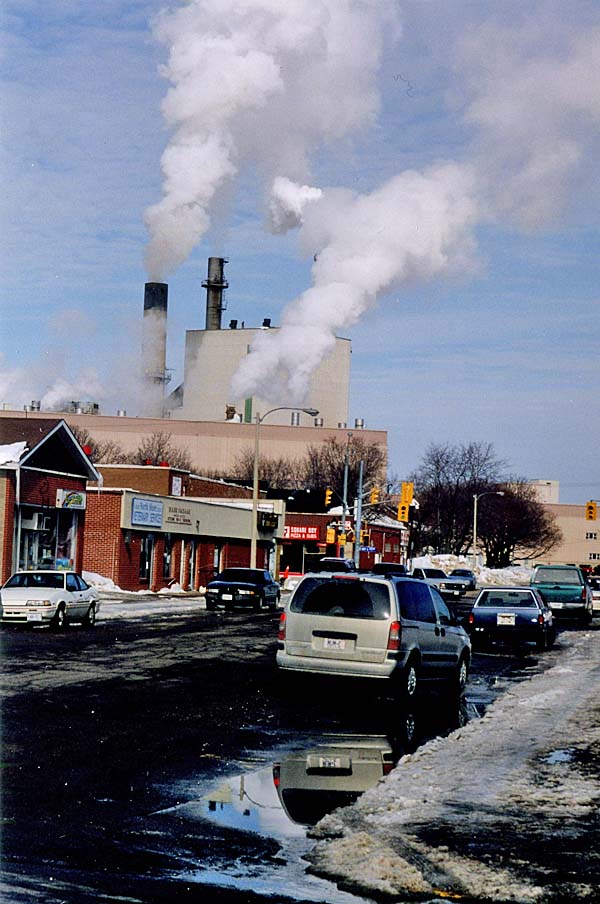 A. B. Ellis Public School 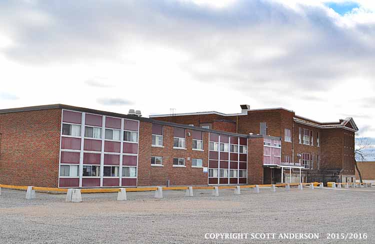 The Recreation Complex that includes the Public Library, swimming pool and fitness centre. 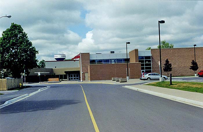 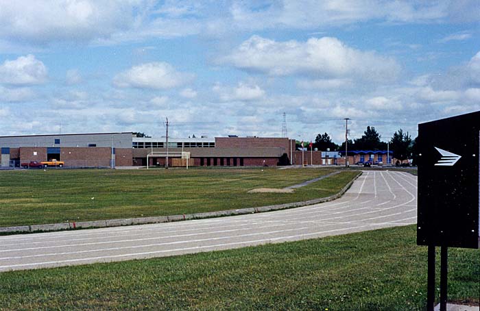 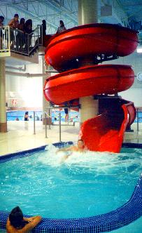 ******************* Other views.    |